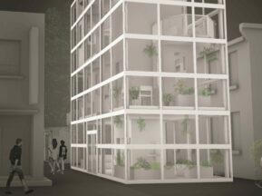
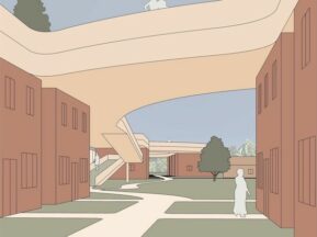
Description: When public and private policies are mapped onto the built environment, they complicate the space and produce borders and territories. In this index, we explored and documented how this mapping has been done within Toronto at small, medium and large scales. We investigated a variety of policies but focused on ones that regulate the purchase and consumption of alcohol. The small scale of a restaurant patio is impacted by licensing and permits, the medium scale of an urban park reckons with a pilot project and the large scale of a historic district is brought up to modern standards and values of consumerism. We found that accordance with policy in these spaces produces both constructed and imaginary borders. The constructed borders include fences and walls that physically divide space, while the imaginary borders are largely regulations of how users can engage with the spaces. Each of these is complicated and creates grey areas that can be misinterpreted or transgressed. The sites that we studied are not unique, and their border conditions are repeated throughout the city. Ultimately, this index proposes that policies play an important role in creating borders that define architectural space.
This was a group project for which I contributed drawings, wrote their descriptive text and edited the rest.
Location: Toronto, Ontario